UN
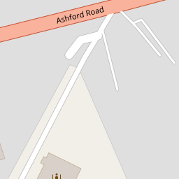
76 Ashford Road
£ 480,000
Description
We don't have a Description for this property.
- Bedrooms
- 3
- Bathrooms
- 0
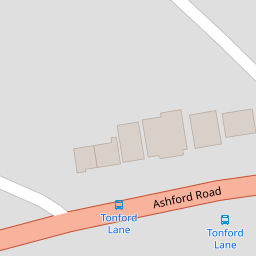
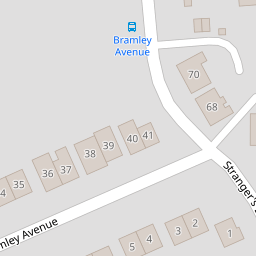

Leaflet © OpenStreetMap contributors
The heatmap indicates the level of crime in the area. The color of the heatmap indicates the crime severity and recency.
Metrics Year-on-Year
- Average area value
- 438,444.00 £Increased by 17.82 %
- Average area rental value
- 1,161.00 £/moIncreased by 0.61 %
- Est rental Yield
- 3.18 %Decreased by 14.52 %
- Crime Rate
- 4.00 %Unchanged by 0.00 %
from 372,118.00 £
from 1,154.00 £/mo
from 3.72 %
from 4.00 %
Nearby Schools
| Name | Type | Ofsted | Distance |
|---|---|---|---|
| The Canterbury Primary School | Academy Converter | Good | 1.15 KM |
| The Canterbury Academy | Academy Converter | Good | 1.48 KM |
| Kent College Nursery, Infant And Junior School | Other Independent School | 1.62 KM | |
| Little Hands Children'S Centre | Children's Centre | 1.87 KM | |
| Wincheap Foundation Primary School | Foundation School | Good | 1.88 KM |
Images
Nearby Streets
| Name | Average Price | Average Sqft | Distance |
|---|---|---|---|
| Stranger's Close | £ 230,000 | 0 | 0.00 KM |
| Warren Lodge | £ 446,333 | 0 | 0.00 KM |
| Cherry Court | £ 0 | 0 | 0.00 KM |
| The Close | £ 514,333 | 0 | 0.00 KM |
| Ledger Way | £ 117,000 | 0 | 0.00 KM |
Nearby Transport
| Name | NLC | TLC | Distance |
|---|---|---|---|
| Canterbury East | 5164 | CBE | 2.60 KM |
| Canterbury West | 5007 | CBW | 2.95 KM |
| Chartham | 5008 | CRT | 4.10 KM |
| Sturry | 5029 | STU | 8.42 KM |
| Chilham | 5009 | CIL | 8.96 KM |
Nearby Listings
| Address | Price | Type | Score | Distance |
|---|---|---|---|---|
| Grays Way, Canterbury, CT1 | £ 325,000 | BUY | 7 / 10 | 0.13 KM |
| Bramley Avenue, Canterbury, CT1 | £ 375,000 | BUY | 7 / 10 | 0.20 KM |
| Bramley Avenue, Canterbury, CT1 | £ 400,000 | BUY | Unknown | 0.22 KM |
| Strangers Lane, Canterbury, Kent, CT1 | £ 375,000 | BUY | Unknown | 0.24 KM |
| Ashenden Close, Canterbury | £ 365,000 | BUY | 7 / 10 | 0.27 KM |
Nearby Properties
| Address | Price | Distance |
|---|---|---|
| 76 Ashford Road | £ 480,000 | 0.00 KM |
| 74 Ashford Road | £ 386,000 | 0.02 KM |
| 115 Thanington Road | £ 235,000 | 0.09 KM |
| 117 Thanington Road | £ 267,000 | 0.09 KM |
| 21 Grays Way | £ 320,000 | 0.13 KM |